Welcome to the Tiki Central 2.0 Beta. Read the announcement
Celebrating classic and modern Polynesian Pop

Tiki Central / General Tiki / A map to Tiki Island (Texas)

Post #341793 by tikipedia on Fri, Nov 2, 2007 4:33 PM

You are viewing a single post. Click here to view the post in context.
T

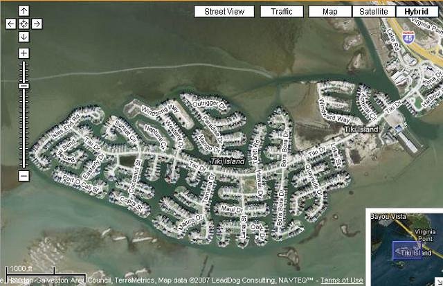
While I was caught up in an aimless meeting today, I did some browsing and 'discovered' Tiki Island, Texas. This neighborhood seems to has been discussed only briefly in TC. So here is a map and all street names (it was a really long meeting). BTW, this neighborhood is located off I-45, just north of Galveston

Streets:
Admiral Circle
Bama Bend
Bamboo Drive
Bora Bora Drive
Cataway Street
Cocoanut Street
Coral Way
Copra Street
Diamond Head Court
Diamond Head Drive
Easterly Drive
Ensign Drive
Hana Drive
Harbour Circle
Hawaii Drive
Isles End Road
Jeanie Lynn Circle
Kah Me Ha Drive
Kona Drive
Lanai Street
Leilani Drive
Lokai Street
Lotus Drive
Long Reach Drive
Maui Drive
Majuro Drive
Makatea Street
Mango Drive
Moorea Street
Neptune Circle
Oahu Drive
Outrigger Drive
Palmetto Drive
Papete Street
Paradise Drive
Port O Call Street
Sampan Drive
Short Drive
Sunset Circle
Tahiti Road
Tamana Drive
Tiki Drive
Tiki Main
Quayside Drive
Wahini Way
Wingsong Way
Westerly Drive
Windward Way