Tiki Central / General Tiki / how cool is that - a tiki-plane ! ! !
Post #605224 by Bay Park Buzzy on Fri, Sep 2, 2011 11:37 AM
|
BPB
Bay Park Buzzy
Posted
posted
on
Fri, Sep 2, 2011 11:37 AM
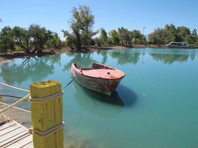
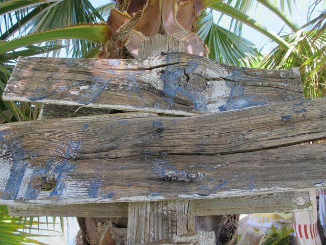
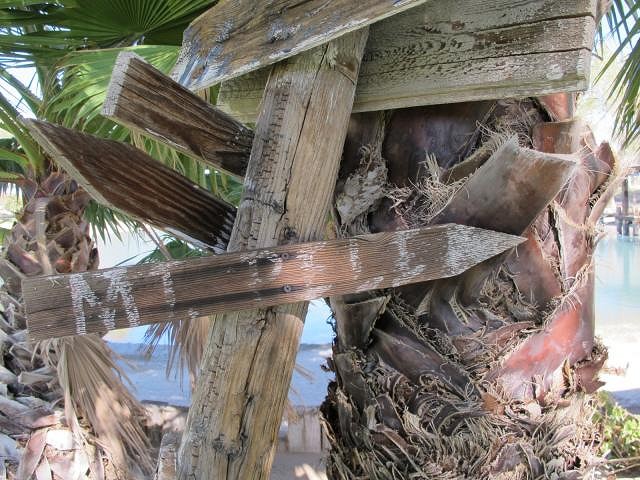
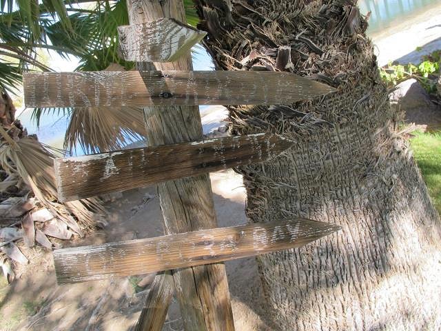
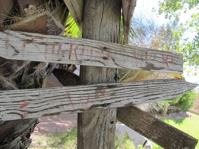
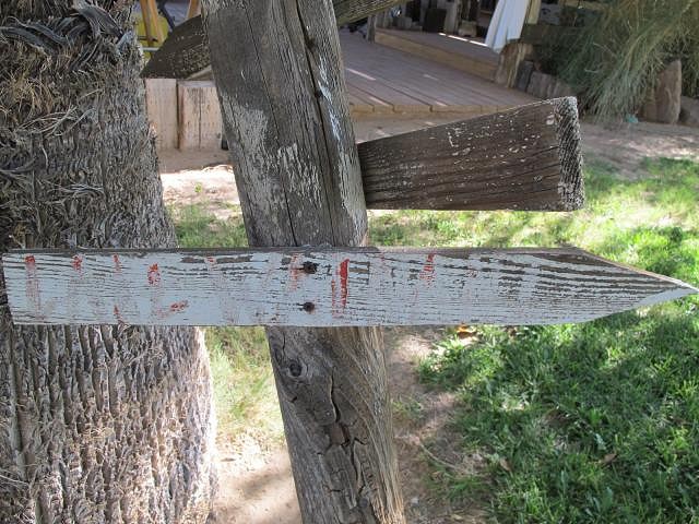
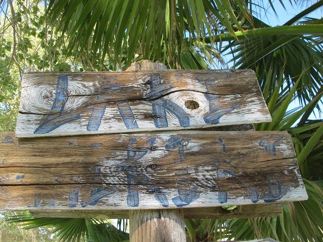
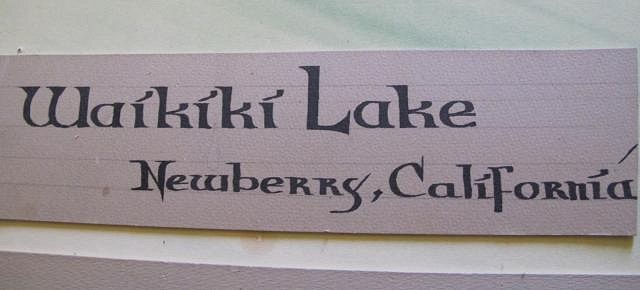
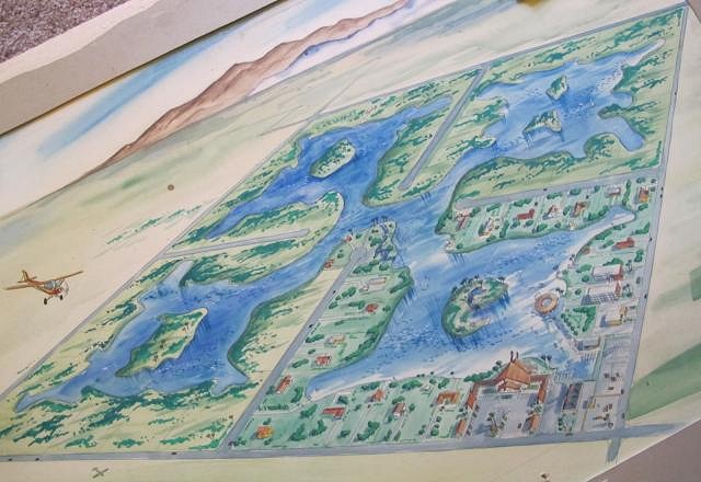
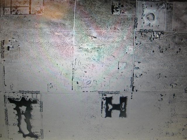
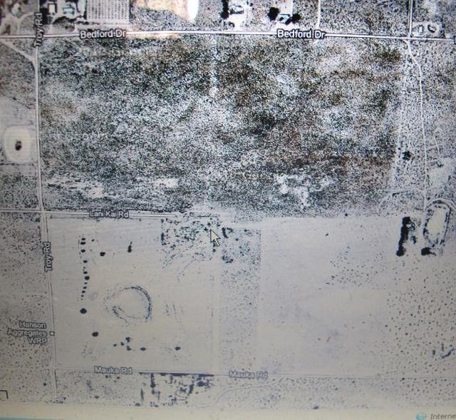
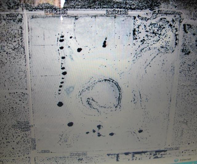
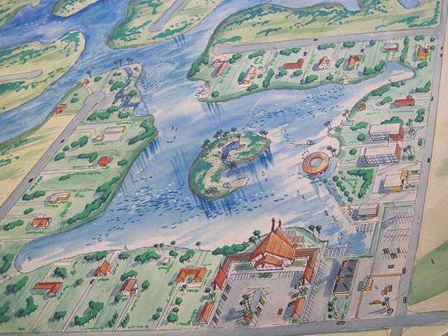
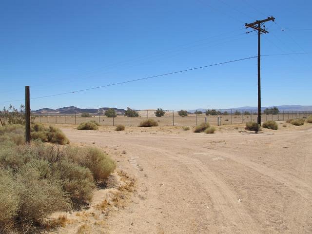
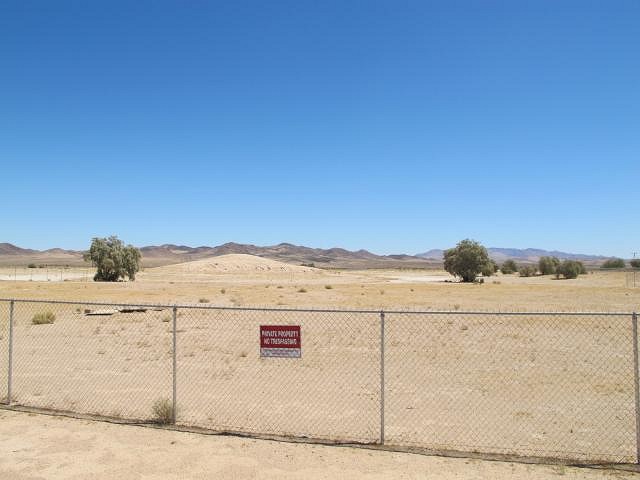
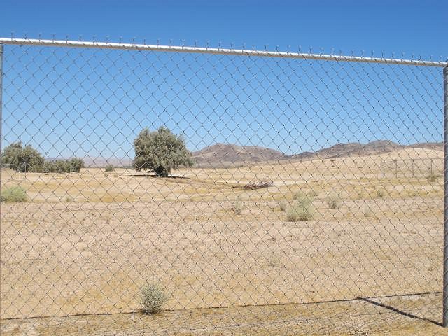
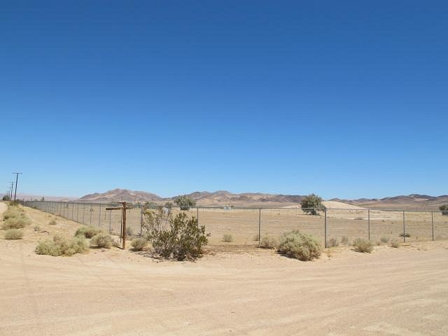
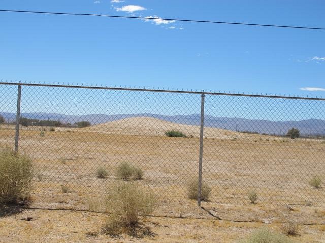
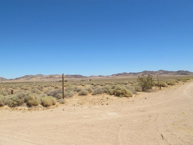
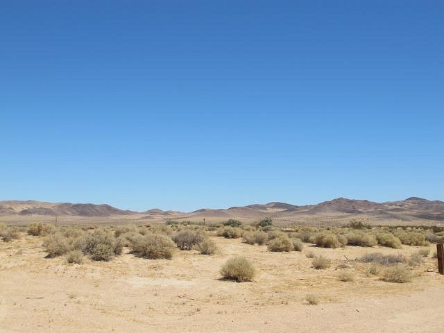
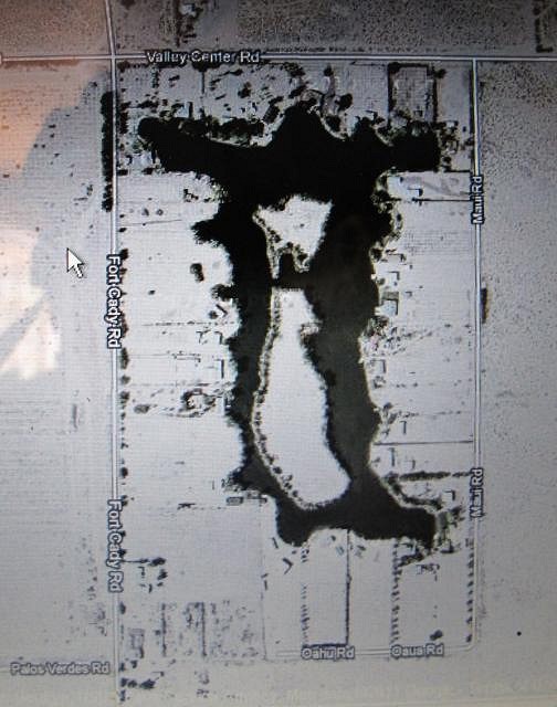
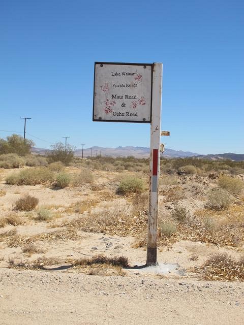
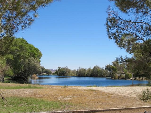
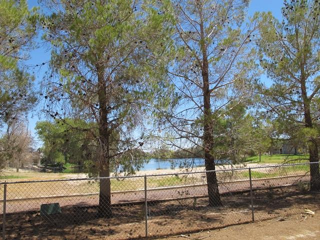
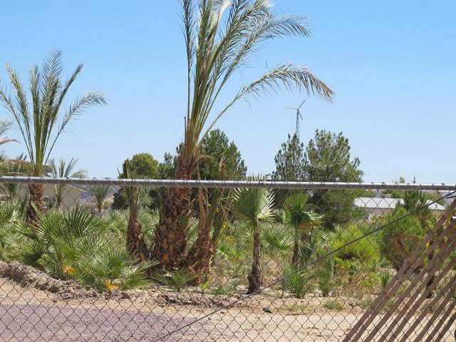
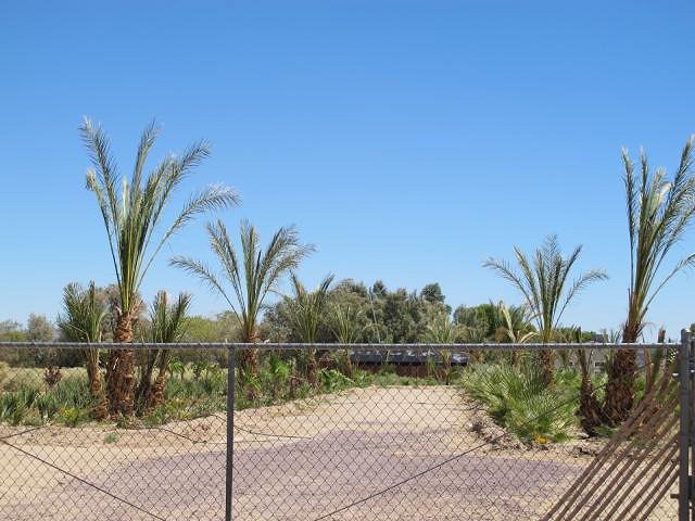
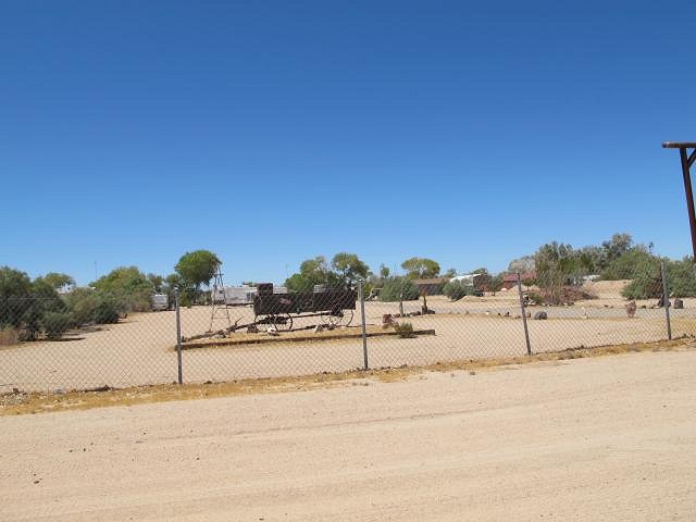
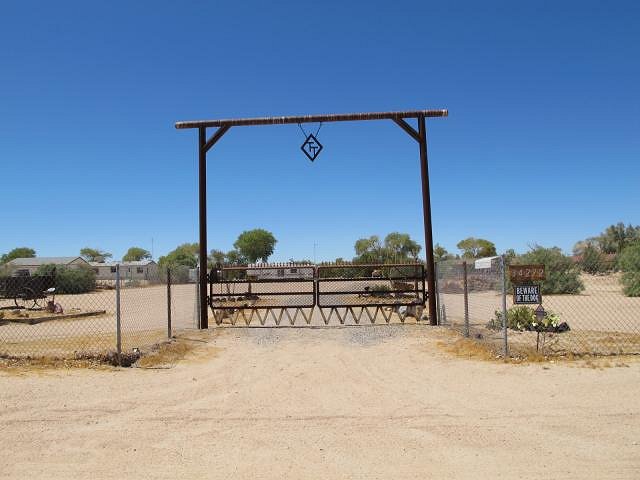
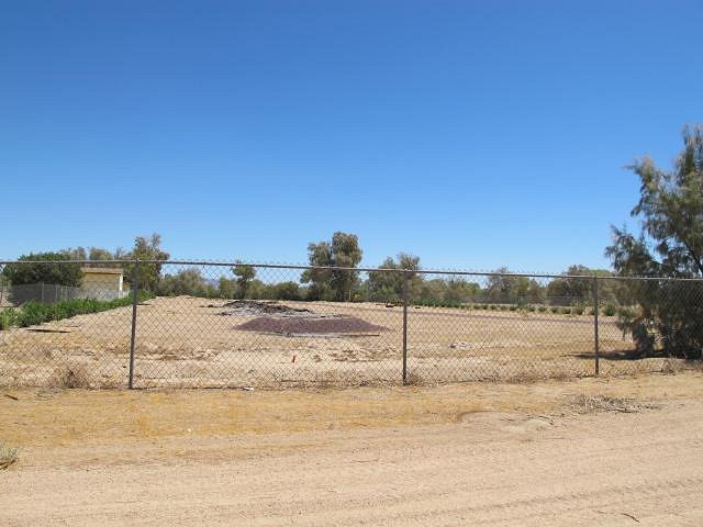
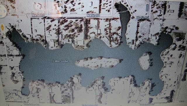
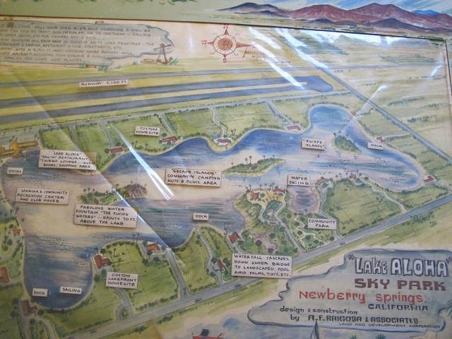
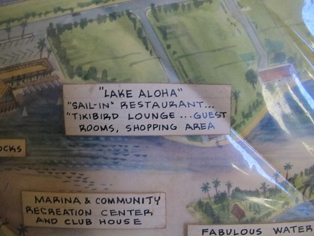
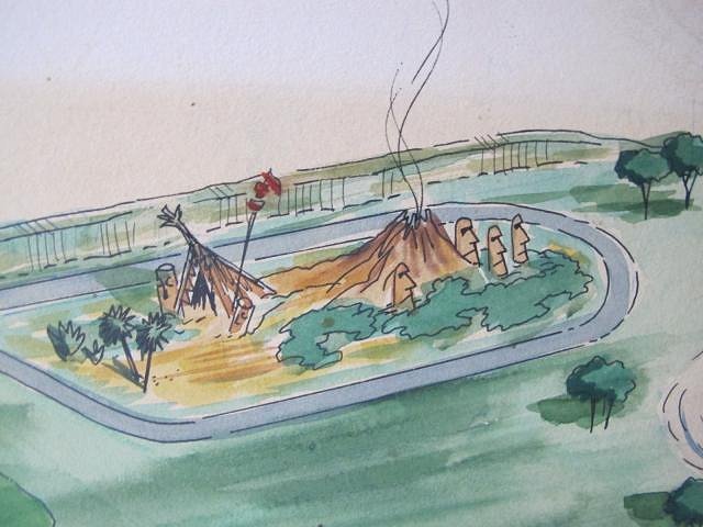
The Mojave crew(Victor and Crazy Kelly Osbourne), patched all the bullet holes in the boat and gave it new life: In close proximity to where the boat was found, an old rotten direction sign was unearthed: No big deal around here, because every property has either a lake, or dry lake on it. However, reading where the arrows point gives the urban tiki archeologist shudders More places the sign points to "Fisherman's Wharf" and "Hawaii-????" "Lake Wainine" Turns out the back of the sign was painted as well: Let's see what we can find out about Lake Wakiki Turns out that in the collection of archtectural rendings, there is a concept map for a place called: Here's what was originally envisioned for Waikiki Lake Just to get an idea of where we are, here's a google maps view of the Lake waikiki, Lake Loreen, and Lake Wainine area Back to Lake Waikiki, we see the google maps view of this: Here's a closer look at the developed site from google maps: Check out how closely the layout of the original site plan coincides with the google photo view: Here's the site today The corner where the old sign once sat. It's on nthe corner of Troy and Lani Kai: This was the lot where the Aframe would have been. The marina on the rendering is in front of the tree, and continues on to left of it: Corner of Troy and Mauka rd. Best view of island from residental lot off of Lani Kai rd Undeveloped lot just north of Lake waikiki that was part of the original concept The other two undeveloped lots to the east of the developed part oflake waikiki Neighbors say the fence was put in about 10 years ago, and there's been no activity there for 3 years or so. The fence is new looking and goes around the entire parcel and also divides all the subdivided lots. Each lot has a sliding gate access to the perimeter roads. A search on the property lists a homeowners association. Looks like the property was legally subdivived and being prepared for sale when the project was halted. Another similar residential lake development in the area was designed by the same people and was actually finished, and that lake was called Here's an overhead view of lake Wainine as it is today: Since it was so close I went to check out Lake Wainine here's the curent sign outside of it: Here's a glimpse of Lake wainini Not much, if any existing polypop stuff around there now(if ever?). It's mostly cowboy/western now. there were a couple palm farms there: Here's more typical current Lake Wainine decor: There are a few developments like Lake Wainine around in Newberry Springs. Another one is Lake Jodie. Lake Jodie was made by the same people who made all the other lakes I've mentioned here on this post. It bears a striking similarity to the plans of the never made Lake Aloha(Perhaps it was made, I just haven't found the footprint or remains of it yet): A piece of the Lake Aloha concept drawing brings us full circle to the original focus of this thread: And i'll close with this detail from one of the many Polynesian Lake inspired site plans: Buzzy Out! |

